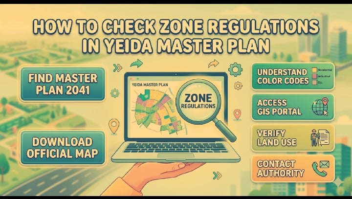
how to check zone regulations in yeida master plan
Ready to dive into the Yamuna Expressway real estate gold rush? This friendly guide breaks down the YEIDA master plan, helping you decode maps, verify regulations, and secure your investment in India's fastest-growing aerotropolis.how to check zone regulations in yeida master plan
NCR REGION UP
Rajesh Kumar
4/16/20264 min read
My dear friends,
If you’ve been keeping an eye on the news lately, you probably know that the area around the Yamuna Expressway is buzzing like a beehive. With the new Jewar Airport coming up, it feels like everyone is looking at those maps and wondering, "Hey, what can I actually build there?" Whether you are looking to build a cozy home or a big warehouse, understanding the YEIDA (Yamuna Expressway Industrial Development Authority) Master Plan is the secret sauce to making a smart move.
In my experience, looking at a government master plan for the first time can feel a bit like trying to read a map of the moon. It’s huge, it’s detailed, and if you aren’t careful, you might end up lost in a sea of technical colors. But don't worry! I’ve spent quite a bit of time squinting at these documents, and I want to share how you can check those zone regulations without losing your mind.
Finding the Master Plan Online
Let's explore this now: where do you even find the official word? As far as reality is concerned, the only place you should trust is the official YEIDA website. I have observed that a lot of third-party sites host older versions of maps, and things change fast in this region!
To get started, head over to the official portal (yamunaexpresswayauthority.com). Look for a section usually labeled "Planning" or "Master Plan." Currently, the world is talking about the Master Plan 2041, which is the big roadmap for the future. You’ll find a PDF link there. I suggest downloading it rather than viewing it in your browser because these files are massive and can be quite slow to load.
Decoding the Color-Coded Zones
Once you open that big PDF map, you’ll see a rainbow of colors. Without further ado, let’s proceed to what those colors actually mean, because this is the heart of checking your regulations. In my experience, the legend (that little key in the corner) is your best friend.
Yellow is for Residential: This is where people live. If you see yellow, it means the land is set aside for houses or apartments.
Purple is for Industrial: Since this is an "Industrial Development Authority," you’ll see a lot of purple. These are the zones for factories and workshops.
Red/Pink is for Commercial: This is where the shops, malls, and offices go.
Blue is for Institutional: Think schools, hospitals, and community centers.
Green is for... well, Green!: These are the parks and "Green Belts." I feel that people often ignore these, but they are crucial because you usually cannot build anything permanent on a green belt.
I once knew someone who bought a plot thinking they could build a small shop, only to realize later the area was strictly zoned for residential "abadi" (village expansion). They had a tough time getting permissions. Always check the color first!
The YEIDA GIS Portal
If you want to feel a bit like a tech pro, you should check out the YEIDA GIS (Geographic Information System) portal. This is a digital map that lets you zoom in and out of specific sectors.
I’ve used this tool many times, and it is a lifesaver. You can search for a specific sector—say, Sector 18 or Sector 20—and see exactly where the plots are laid out. The GIS portal often provides more "real-time" info than a static PDF. It’s like using Google Maps, but specifically for land use. If you are serious about a property, use this to see how close it is to the proposed Metro line or the main expressway.
Understanding the Village List
Another thing I have observed is that people forget about the villages. The Master Plan covers a huge area—over 2,500 square kilometers! A lot of this land still belongs to villages.
When you check the regulations, look for the "Village List" PDF. It tells you which villages are included in which phase of development. If a village is on that list, it means the authority has a plan for it. If it’s not, it might be outside the current development zone, which means no infrastructure like roads or sewage lines will be coming there anytime soon.
Checking the FSI and Ground Coverage
As far as reality is concerned, knowing the zone (like "Residential") is only half the battle. You also need to know the "building bylaws." These are the rules that tell you how tall you can build and how much of the plot you can cover.
Inside the Master Plan report, look for a section on "Zoning Regulations." It will list things like:
Floor Space Index (FSI):
How much total floor area you can build relative to the size of the land.
Setbacks:
How much space you have to leave empty between your building and the road.
I feel that this is where most people get tripped up. They buy a 300-meter plot and think they can build on every single inch of it. The master plan will tell you that you might have to leave 30% of it open. It’s better to know that now than to have a surveyor tell you later!
Why the Master Plan 2041 Matters
The 2041 plan is a big deal because it introduces the "Aerotropolis" concept. This basically means they are building a city designed specifically to support the airport.
In my experience, this means regulations are getting stricter about height (because of airplanes) and noise levels. If you are looking at land very close to the airport, you must check the "Airport Influence Zone" rules. There might be specific limits on how high your roof can go.
Final Steps to Verify Land Use
To wrap things up, if you are about to put down your hard-earned money, don't just take a map's word for it. Here is my personal checklist:
Get the Sector Map:
Beyond the big Master Plan, YEIDA issues detailed maps for each sector.
Apply for a Land Use Certificate:
If you want 100% legal certainty, you can actually apply to the authority for a document that officially states the land use of a specific survey number.
Visit the Office: Sometimes, a quick trip to the YEIDA office in Greater Noida is worth ten hours of internet research. The officials there can clarify if a specific patch of land has any pending legal issues or changes in zoning.
I hope this helps you navigate the exciting world of Yamuna Expressway real estate! It’s a huge opportunity, but like anything else in life, it pays to do your homework.
Happy planning!